By Chris Burns, NASA’s Goddard Space Flight Center
For over 50 years, the Landsat program has provided the longest continuous satellite record of Earth’s land surface from space. Landsat 9, launched in 2021, is the latest mission in this remarkable legacy — building on decades of Earth observation with upgraded technology, including enhanced radiometric resolution, improved signal-to-noise performance, and polar night thermal imaging. Working in tandem with Landsat 8 to map the entire planet every eight days, Landsat 9’s data is being fused with the European Space Agency’s Sentinel-2 satellites to enable near-daily global observations, delivering sharper, more detailed observations that help scientists and communities monitor a changing planet.
VIDEO SCRIPT
It started over 50 years ago with an idea:
A satellite, orbiting Earth, observing our planet’s surface, gathering data, day in, day out.
That idea gave birth to the Landsat program, a partnership between NASA and the US Geological Survey, the longest continuous record of Earth’s land surface from space.
Landsat 1’s launch in 1972 was the first link in a chain of 8 satellites, each one building upon the last.
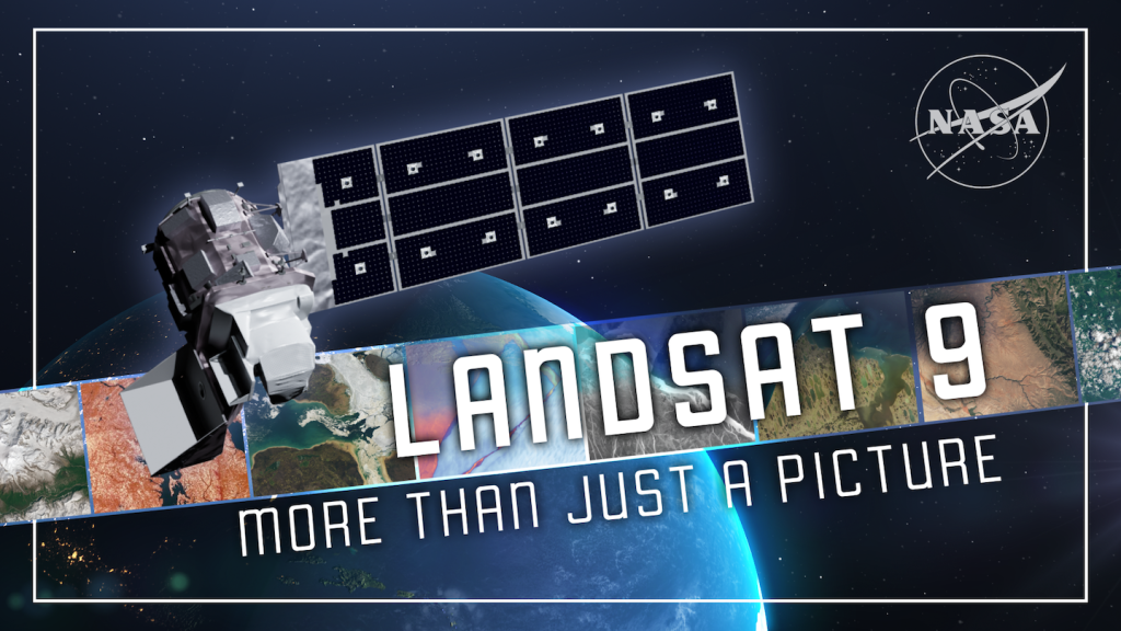
And today, Landsat 9 carries that legacy forward.
Since its launch in 2021, Landsat 9 helping collect more scenes per day than any previous Landsat satellite mission. collects as many scenes per day as Landsats 5 & 7 combined.
Working in tandem with Landsat 8, the pair now collect nearly 1,500 scenes daily, creating a complete map of the planet’s land surface every 8 days.
It’s not just about scale — it’s about Landsat’s ability to revisit the same scene multiple times a month. With this pace of acquisitions, Landsat 9 helps track seasonal shifts in crops, the spread of wildfires, the aftermath of storms, and even rapid changes in glaciers and coastlines.
More images mean more data, fueling research and scientific applications around the world.
But when it comes to Landsat 9’s imagery, it’s not just about quantity – it’s about quality too.
While Landsat 9’s main design is nearly identical to Landsat 8’s, it’s able to collect data in greater detail thanks to an upgraded radiometric resolution — 14-bit instead of Landsat 8’s 12-bit.
Think of it like upgrading from a box of 4,000 crayons to one with 16,000 — every shade captured, every subtle detail sharper.
Landsat 9’s quadrupled radiometric sensitivity makes a real difference when capturing data over the planet’s brightest surfaces, like snow and ice, revealing subtle changes that might otherwise go unnoticed: shifts in ice extent, changes in how surfaces reflect sunlight, even the growth of glacial lakes forming where ice once stood.
Seeing more shades of detail is powerful, but it only matters if the picture itself is clear.
Landsat 9 not only sharpens what we can detect, it also cuts through the static, delivering a stronger signal-to-noise ratio, which means images that have less interference.
It’s like trying to hear a whisper in a noisy room — Landsat 9 quiets the static so we don’t miss anything important.
And that clarity makes a difference, especially over dark surfaces like water which can harbor harmful algal blooms that can spread quickly, threatening drinking water supplies, local wildlife and even human safety.
By spotting these blooms with greater sensitivity, Landsat 9 gives communities and scientists more reliable and actionable information to respond.
Landsat 9 doesn’t clock out when the sun goes down – its onboard thermal sensor, TIRS, measures our planet’s surface heat even in darkness.
That means we can monitor urban heat islands, volcanic hotspots, and water temperature at night.
Since 2022, the US Geological Survey’s special request data program has implemented the Landsat Extended Acquisition of the Poles, or LEAP for short, taking advantage of Landsat 9’s ability to see in the dark to acquire imagery in polar regions year-round when the sun can set for up to six months at the poles.
Together with Landsat 8, the satellites can detect features like meltwater, cracks, and even open water within ice under low light conditions.
The enhanced coverage helps scientists better monitor ice dynamics and seasonal changes in polar regions, detecting calving events, surface melt, and changes in sea ice extent even during the dark months.
Landsat 9 isn’t working alone — it’s part of a global team of satellites, where collaboration across agencies and nations is giving us the clearest, most consistent view of Earth yet.
NASA’s Harmonized Landsat Sentinel-2 project fuses data from Landsats 8 & 9 with that of the European Space Agency’s Sentinel-2 A,B and C satellites to form a seamless, consistent surface reflectance record.
In this “virtual constellation,” Landsat 9 contributes its spectral precision and calibrated data, helping enable global observations every 1-2 days at 30-meter resolution.
Landsat 9’s high fidelity, radiometric stability, and continuity anchor HLS, ensuring that the fused product maintains the scientific integrity that Landsat users expect.
Landsat 9 is more than just today’s mission — it’s part of the foundation for the future.
Through the Sustainable Land Imaging program, NASA and the U.S. Geological Survey aims to preserve our ability to keep a continuous, reliable record of Earth’s land for decades to come.
That means not just flying satellites, but building the technology, partnerships, and planning needed to keep the record unbroken.
Within SLI, NASA’s Sustainable Land Imaging–Technology initiative is testing new instruments that could make future missions smaller, more capable, and more efficient.
Landsat 9 is NASA’s first SLI mission and plays a key role here, setting the benchmark for data quality and coverage, proving what works today and guiding the technologies of tomorrow.
Its stability and precision are hallmarks of previous lessons learned, allowing scientists to trust the record across decades, and its success helps guide the innovations that will come next.
For more than half a century, Landsat satellites have given us an unbroken record of our changing planet.
In just four years, Landsat 9 has brought that vision into even sharper focus — capturing millions of scenes, advancing how we track water, ice, and land, and strengthening the world’s longest Earth-observation record.
It’s not just another satellite in orbit. It’s a bridge — carrying the Landsat legacy forward with enhanced technology while preparing the foundation for the future of sustainable land imaging.
Because with Landsat, every image is more than a picture — it’s a calibrated digital record, providing knowledge we can use to understand, protect, and sustain life on Earth.
Explore More
For over 50 years, the Landsat program has provided the longest continuous satellite record of Earth’s land surface from space.…

A cold snap in the southern U.S. stirred up a dazzling display of sediment in coastal waters.

Giant tortoises are returning to Floreana Island after more than 150 years, guided by NASA data that shows suitable areas…